


Splash. A Weddell seal weighing almost 500 kilograms lands inside the tent and blocks the hole laboriously sawn out by researchers in the two-meter-thick ice to launch drones under the sea ice.
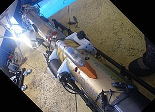
The tent is lovely and warm. Small petroleum ovens provide heat to keep the hole free from ice. Outside, the Antarctic sea ice stretches for miles around, and the thermometer shows -15 degrees. The seal finally glides back into the water foraging for more fish, and the researchers have access to the open water. The advanced technology drone is carefully lowered into the icy cold sea.
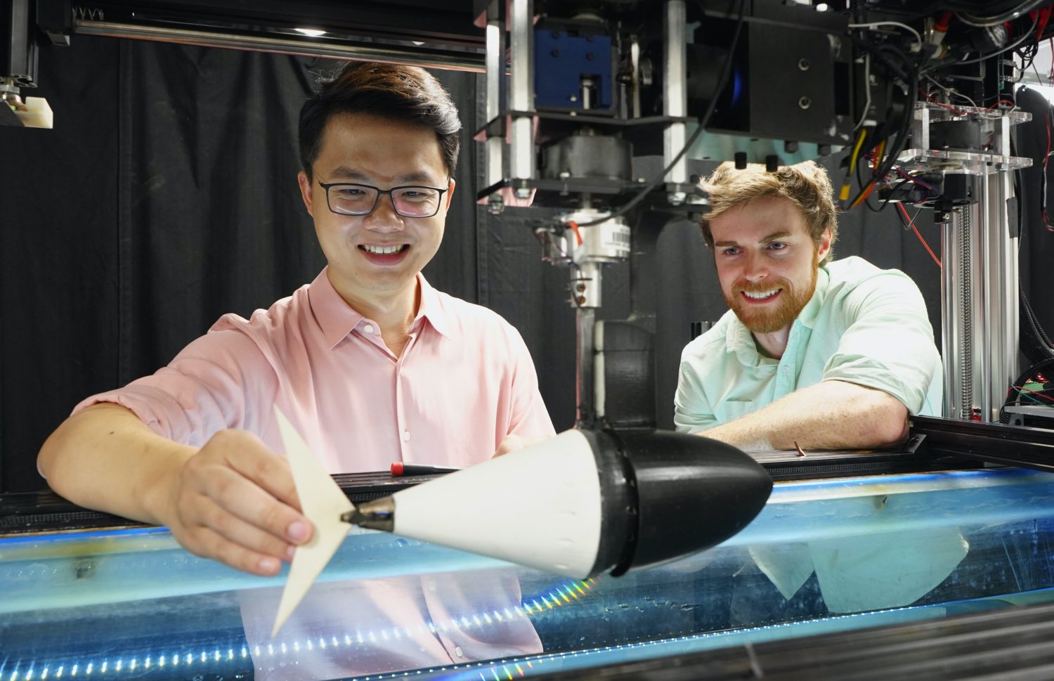
Working here (right next to the old hut used by polar explorer Robert Falcon Scott in the Antarctic winter) are researchers Lars Chresten Lund Hansen, Brian Sorrell and Ph.D. student Bibi Ziersen from Aarhus University, along with their colleagues from Australia and New Zealand. They are developing and testing a new method to map the distribution of ice algae on the underside of the sea ice in Antarctica.
The tent covers a hole in the ice measuring 3 m x 1 m, and the researchers send their torpedo-shaped underwater drone down through the hole to map the underside of the sea ice. Making the hole takes most of a day and requires a major equipment package with an oil burner and steam drill.
“The drone was actually designed to study the sea bed and map factors, such as sediment types, but our Australian colleagues modified the drone so that it now looks up towards the bottom of the sea ice and measures the light coming through the ice with a radiometer,” says Associate Professor Lars Chresten Lund Hansen, Aarhus University.
Ice algae on the underside of the ice absorb light at certain wavelengths, and the radiometer measures how much or how little light is absorbed at these wavelengths. Based on the light measurements, the researchers can calculate the amount of algal biomass under the ice and, thereby, get an idea of where the ice algae are located and how many there are. The drone follows a pre-programmed course, and it maps the distribution of ice algae over very large areas where studies have not previously been possible.
Read more: Underwater Drones lead Antarctic Exploration into New Epoch
The Latest on: Underwater Drones
[google_news title=”” keyword=”Underwater Drones” num_posts=”10″ blurb_length=”0″ show_thumb=”left”]
via Google News
The Latest on: Underwater Drones
- Ukraine's Embassy in Slovakia to transfer four underwater drones to State Emergency Service for humanitarian deminingon April 27, 2024 at 5:45 am
The Embassy of Ukraine in Slovakia purchased four Chasing M2 Pro Max underwater drones (with a range of 200 meters) for the State Emergency Service of Ukraine, the Foreign Ministry of Ukraine has said ...
- Kongsberg’s electric underwater drone with 15-day range nails final teston April 26, 2024 at 4:57 am
N orwegian technology company Kongsberg has announced the successful sea trials for its large commercial autonomous underwater vehicle (AUV), the HUGIN Endurance. This concludes months of assessments ...
- New naval drones and big benefit bumps for troops | Defense News Weekly Full Episode, 4.20.24on April 22, 2024 at 7:11 am
Autonomous underwater tech takes center stage at Sea Air Space, while moves by Congress and the Supreme Court promise big benefits for troops.
- Meet an autonomous underwater drone you can fit in a backpackon April 22, 2024 at 3:55 am
Looking to make underwater autonomous drones smaller and able to be launched by a single operator, Advanced Navigation shows off the Hydrus.
- Outdoors in Maine: Atlantic salmon in Schoodic Lake caught by angler and captured in underwater photoon April 20, 2024 at 1:25 pm
Not long after Shawna Stevens surprised herself and many others this winter by jigging a 6-pound Atlantic salmon (that’s right, Atlantic salmon) through the ice at Schoodic Lake near Milo, Jason Smith ...
- Robot penguins: This underwater drone can cruise at 11.5 mphon April 19, 2024 at 7:54 am
German underwater robotics company EvoLogics has developed an advanced version of its Quadroin autonomous underwater vehicle (AUV). When the Quadroin vehicle was first unveiled in May 2021, it ...
- Why are underwater drones the future of inspection?on April 18, 2024 at 3:02 am
Underwater inspection regimes have traditionally required humans in boats. New underwater drone regimes can cut the tedium, the expense, and the ecological impact. Underwater drones are effective and ...
- Underwater drones to be tested in Japan with aims to promote domestic manufacturingon April 17, 2024 at 8:32 pm
Japan expects AUVs to be used for inspecting offshore wind power generation facilities and underwater surveillance. Read more at straitstimes.com.
- Northrop Grumman unveils prototype of spooky new underwater droneon April 13, 2024 at 12:12 pm
Northrop Grumman is one of two companies developing autonomous underwater vehicles that can wander the ocean for long periods of time, using the ocean to generate electricity.
- DARPA’s mysterious Manta Ray could be the future of underwater droneson April 12, 2024 at 1:00 pm
Northrop Grumman has created a next-generation Manta Ray drone that can recharge itself in the ocean without human assistance.
via Bing News
