


For under-resourced park rangers patrolling the porous, poacher-friendly borders of Africa’s national parks, conserving the ailing rhino and elephant populations is certainly a tall order. With tusks and horns only yielding more and more cash on black markets all across Asia, poaching numbers are on the rise and the future of local species hangs in the balance. But equipped with drones, big data and high-tech infrared cameras, one organization says it has the capabilities to start stemming the tide.
Dubbed Air Shepherd, the initiative is backed by the Lindbergh Foundation, a not-for-profit that aims to preserve the environment through the use of technology. It launched the project in response to illegal poaching problem in southern Africa, a crisis it says saw 40,000 elephants and 1,200 rhino killed in a single year. The group estimates that the current rate of hunting will see both become extinct within 10 years.
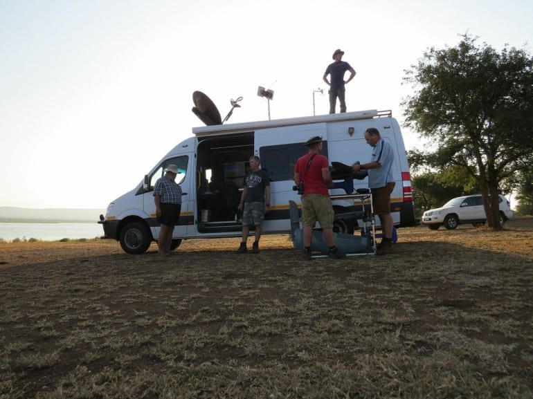
Air Shepherd’s answer? Use flying robots to beef up the patrol teams. It has carried out a pilot phase in southern Africa over the last two years, which saw more than 400 missions and logged 1,000 hours of flying time over a region where as many as 19 rhinos were normally poached each month. It says during its testing period over six months, not a single rhino was killed.
Air Shepherd’s system uses unmanned aerial vehicles (UAVs) with infrared cameras and GPS. These are designed to tackle after dark-poaching between the hours of 6:30 and 8:30 pm, a period which sees the poachers make their move after surveying animal positions during daylight. Once the curtain of darkness is lowered, the hunters move in and kill the animals, quickly making off with their horns and tusks.
The engine room of Air Shepherd’s solution is actually nowhere near Africa. Rather, it is housed at the University of Maryland in the US, where a supercomputer processes historical data about the location, such as poaching locations and times and where the poachers are entering and exiting the park. Taking into account where the elephants and rhinos are traveling and maps of the terrain, the software predicts the routes that the poachers will use to hunt their prey and dictates the flight paths of the drones accordingly.
Dubbed Air Shepherd, the initiative is backed by the Lindbergh Foundation, a not-for-profit that aims to preserve the environment through the use of technology. It launched the project in response to illegal poaching problem in southern Africa, a crisis it says saw 40,000 elephants and 1,200 rhino killed in a single year. The group estimates that the current rate of hunting will see both become extinct within 10 years.
Air Shepherd’s answer? Use flying robots to beef up the patrol teams. It has carried out a pilot phase in southern Africa over the last two years, which saw more than 400 missions and logged 1,000 hours of flying time over a region where as many as 19 rhinos were normally poached each month. It says during its testing period over six months, not a single rhino was killed.
Air Shepherd’s system uses unmanned aerial vehicles (UAVs) with infrared cameras and GPS. These are designed to tackle after dark-poaching between the hours of 6:30 and 8:30 pm, a period which sees the poachers make their move after surveying animal positions during daylight. Once the curtain of darkness is lowered, the hunters move in and kill the animals, quickly making off with their horns and tusks.
The engine room of Air Shepherd’s solution is actually nowhere near Africa. Rather, it is housed at the University of Maryland in the US, where a supercomputer processes historical data about the location, such as poaching locations and times and where the poachers are entering and exiting the park. Taking into account where the elephants and rhinos are traveling and maps of the terrain, the software predicts the routes that the poachers will use to hunt their prey and dictates the flight paths of the drones accordingly.
Read more: Air Shepherd drones keep a watchful eye over endangered species

The Latest on: Endangered species
[google_news title=”” keyword=”Endangered species” num_posts=”10″ blurb_length=”0″ show_thumb=”left”]
via Google News
The Latest on: Endangered species
- MSC cruise ship sails into NYC harbor with dead endangered whale across its bowon May 9, 2024 at 4:20 pm
NEW YORK — A cruise ship sailed into a New York City port with a 44-foot dead whale across its bow, marine authorities said. The whale, identified as an endangered sei whale, was caught on the ship's ...
- Lawsuit seeks endangered species protection for rare East Tennessee salamanderon May 9, 2024 at 2:09 pm
The Center for Biological Diversity has filed suit against the U.S. Fish and Wildlife Service over its refusal to grant a rare southern salamander Endangered Species Act protections.
- College Football Walk-Ons Could Be an Endangered Species, per Reporton May 9, 2024 at 1:19 pm
A proposal being considered by those major conferences would reduce college football rosters to between 85 and 95 players, a number that could line up directly with the NCAA’s current 85-scholarship ...
- Endangered Species Act co-author dies at 96on May 9, 2024 at 10:26 am
Former California Rep. Pete McCloskey helped organize the first Earth Day and enact the nation’s landmark endangered species law. When a Democratic senator was on the hunt for a Republican to help ...
- How to Recover Endangered Species – Or Noton May 8, 2024 at 5:00 pm
Why not? It is impossible to overstate – or even understand – how hard it is for USFWS to wrap its mind around the concept of reintroducing endangered species. For 50 years, the Endangered Species Act ...
- Duncan: Alabama No. 1 for endangered specieson May 7, 2024 at 8:19 am
Alabama Audubon executive director Dr. Scot Duncan closed the Selma-Dallas County Public Library’s Lunch at the Library series for the 2023-24 season on Thursday. Duncan discussed his two books, ...
- Should we seal DNA samples of Earth's endangered species in a moon crater?on May 7, 2024 at 5:00 am
The idea is to store a biorepository — a biobank that stores samples of biological material cooled to temperatures low enough it is essentially suspended in time — inside permanently shadowed craters ...
- Butterfly tea at Moana Surfrider to protect endangered specieson May 6, 2024 at 9:56 pm
One endangered species is making a comeback with help from a nonprofit and Waikiki resort. A monthly pop-up event combines education with a memorable experience.
- Bouncing baby bongo born at Jacksonville Zoo; third calf of endangered species since Juneon May 6, 2024 at 2:08 am
The Jacksonville Zoo and Gardens' newest bongo calf is the third of the endangered species born there since June and and 27th since 2009.
- House of Representatives votes to remove gray wolves from endangered species liston April 30, 2024 at 4:13 pm
The bill, co-sponsored by Wisconsin Rep. Tom Tiffany, would remove the gray wolf from protections of the federal Endangered Species Act.
via Bing News

