


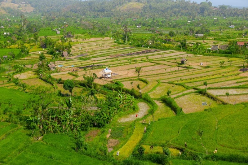
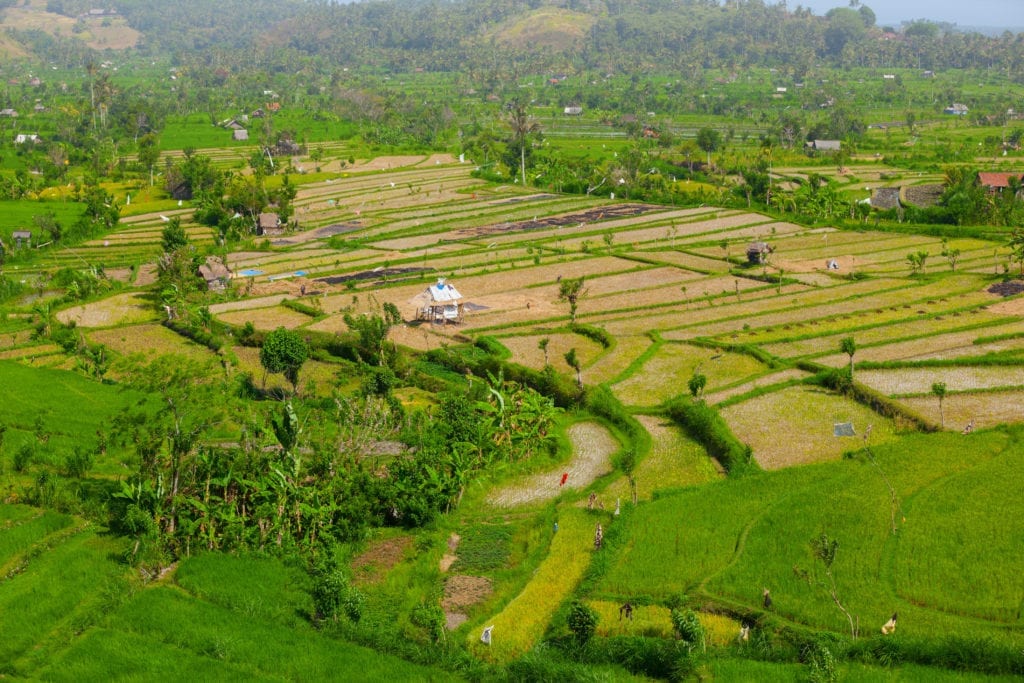
Rice is an important food source for a majority of the world population. Worldwide, on average around 60 kilograms of rice is consumed per year per person. Researchers from all over the world, including from the ITC Faculty of the University of Twente, have developed the RiceAtlas: a spatial database that answers key questions like where, when and how much rice is grown globally. The database has just been made publicly available.
RiceAtlas consists of data on rice planting and harvesting dates by growing season and estimates of monthly production for all rice-producing countries. The database represents a long term global effort to collect, and continuously update, the most detailed information on rice calendars and production worldwide. This is an important dataset that is crucial for understanding the effects of policy, trade, and global and technological change on food security.
Spatial data for strategic planning and modelling
Alice Laborte, scientist at the International Rice Research Institute (IRRI): “Several rice crop calendars exist. However, they do not adequately capture the spatial and temporal detail associated with rice production. With the help of collaborators from various countries, RiceAtlas has become the most comprehensive and detailed spatial database on global rice calendar and production.”
Andy Nelson, Professor of Spatial Agriculture and Food Security at ITC, University of Twente: “We developed RiceAtlas to support strategic planning and modelling which require information on the where and when of rice. Making it a global public good serves the research and policy community but also means that RiceAtlas can be regularly improved through expert knowledge and contributions.”
Sander J. Zwart, principal researcher at AfricaRice: “Strategic knowledge on the when and where of rice production supports the debate on food security and the development and implementation of policies across Africa. Experts from national institutes were consulted to contribute information to RiceAtlas that was before available only in national data bases and not shared with the greater public. RiceAtlas was already deployed to spatially analyse the impact of climate change on rice production in the different growing seasons.”
Learn more: Spatial database of the world’s rice production to address research and policy questions on food security
The Latest on: Rice production
[google_news title=”” keyword=”rice production” num_posts=”10″ blurb_length=”0″ show_thumb=”left”]- Climate change, chalky grains and the risks for Japan’s rice farmerson April 27, 2024 at 9:58 pm
As Japan’s rice farmers prepare for a new planting season, many will be hoping that this summer brings a reprieve from 2023’s brutal weather conditions.
- Traceability records maintain reputation of Vietnamese riceon April 27, 2024 at 8:29 pm
The Ministry of Industry and Trade requests to ensure full traceability documents and records in purchase, consumption, export of rice to ensure no commercial fraud and preserve brand and reputation ...
- Brenden Rice received NFL Draft call while serving as pallbearer at Keith Miller's funeralon April 27, 2024 at 8:22 pm
Brenden Rice experienced one of the best moments of his life during one of his worst days. It's strange even putting those things together, but that was the reality for the former Colorado wide ...
- Jerry Rice's Son Brenden Applauded by NFL Fans After Going to Chargers in 2024 Drafton April 27, 2024 at 7:12 pm
The Los Angeles Chargers selected former USC wide receiver Brenden Rice with the No. 225 pick in the 2024 NFL draft on Saturday. Rice, the son of Hall of ...
- Instant analysis of Chargers' selection of WR Brenden Riceon April 27, 2024 at 3:17 pm
Analyzing the Los Angeles Chargers’ selection of wide receiver Brenden Rice with the No. 225 overall selection.
- NFL Draft: Brenden Rice, son of Hall of Famer Jerry Rice, picked by Chargerson April 27, 2024 at 3:05 pm
Brenden Rice could have been like plenty of other receivers taken in Day 3 of the NFL Draft, selected by their new team without a lot of fanfare. But Rice is part of football royalty. He's the son of ...
- What is Golden Rice? Philippine Court Blocks Commercial Production of Genetically Modified Rice Over Safety Concernson April 27, 2024 at 6:24 am
Philippine court ruling blocks commercial production of genetically modified golden rice and BT brinjal, citing safety concerns. Decision sparks debate over the safety and future of genetically modifi ...
- Thailand Advances Low-Emission Rice Productionon April 26, 2024 at 10:10 pm
As global attention shifts toward sustainable agricultural practices, the International Rice Research Institute (IRRI) has organised a Policy Forum entitled "Strengthening Thailand's Low-Emission Rice ...
- Global rice prices may gain in Q3 after clear picture on weather, production emergeson April 26, 2024 at 6:11 am
Rice prices in the global market have currently dropped to levels of $600/tonne and below but they will likely gain around June-July when a clear picture emerges on production and monsoon behaviour in ...
- Philippine court blocks GM rice productionon April 25, 2024 at 10:24 am
A Philippine court has blocked the commercial propagation of genetically modified golden rice because it said conflicting scientific views gave rise ...
via Google News and Bing News
